
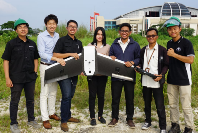
Crew members in Indonesia with Terra Wing drone
Terra Drone Indonesia and Central Research Institute of Electric Power Industry (CRIEPI) (Headquarter: Chiyoda-ku, Tokyo, President: Masanori Matsuura, hereinafter called CRIEPI) have successfully demonstrated how unmanned aerial vehicles (UAVs) can be used to monitor electricity transmission lines in Indonesia.
The demonstration was done using Terra Wing drone at PT PLN (Persero) main transmission unit (UIT) in East Java and Bali (JBTB). In only 10 minutes, the drone was able to monitor 2 km of electricity lines covering four transmission towers.
As Indonesia’s state electricity corporation, PT PLN (Persero) has an obligation to ensure optimum power distribution in the country. To support this endeavor, several steps are taken, which are not only related to adequate power generation but also to its efficient transmission and distribution. Maintenance of transmission lines is one of those steps, and an important one to guarantee the availability of electricity throughout Indonesia.
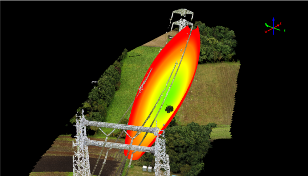
Power line inspection report
The results obtained through drone monitoring are in the form of a point cloud or 3D model of the power line, derived using a software system developed jointly by Terra Drone and CRIEPI. This data can be analyzed to understand the distance between cables and to identify parts that have started to become loose. The data also acts as an efficient vegetation management solution because potentially disruptive foliage surrounding the power lines can be easily identified in great detail and with high accuracy using drones.
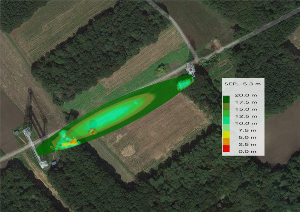
Power line inspection report
Terra Wing is a fixed-wing drone developed especially for topographic survey purposes in sectors like infrastructure, mining, agriculture, and utilities. In Southeast Asia, Terra Drone Indonesia is the first Drone Service Provider (DSP) to have used this drone technology.
PLN is buoyant about using drones because the technology has proven to reduce risk to human workers in high-voltage areas. Moreover, using drones is economical and results in high-quality images. Through this demonstration, Terra Drone Indonesia has proven that drone technology can be used to safely carry out mapping and monitoring in high-risk areas such as energy and utilities, and will continue to do in the future.
Source: Press Release