
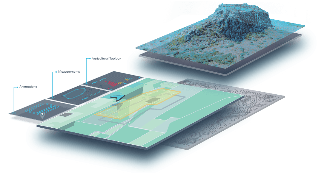
 DroneDeploy has announced a new feature: real-time, accurate volume measurements available on any device. This feature is available as part of the new Elevation Toolbox, which enables more granular visualization and analysis of elevation data.
Whether you need to calculate the volumes of stockpiles, the extraction volume of a quarry or the volume of a building, you will find tremendous time savings compared to traditional methods.
It’s simple to use — just select the perimeter of the pile or hole you want to measure on any new map and click “Calculate”, and we take care of the rest instantly within your browser.
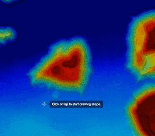
Early users of DroneDeploy’s new volumetric measurements reported accuracy within 2% of traditional ground survey methods. Volume analysis by drones delivers significant time and cost savings, and eliminates risks associated with people working on dangerous terrain.
DroneDeploy helps customers worldwide leverage their drones by:
- Autonomously flying and capturing images
- Rapidly stitching together and processing images
- Extracting image insights across any device
Agriculture, construction, mining, and real estate are among the primary sectors realizing real value from drones today, and growing by more than 80% in 2016 according to Jupiter Research. DroneDeploy has enabled businesses of all sizes to map and analyze over 1 million acres across 6 continents and 29 countries.
Source: Press Release