
 Brazilian municipalities are planning to use UAS to map properties and monitor forest cover as they move to step up enforcement of the country’s Forest Code, reports The Financial Times.
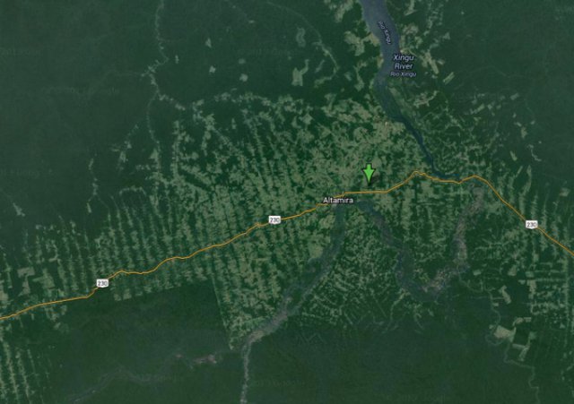
According to a story published Monday, the municipality of Altamira in the state of Pará recently purchased a UAS for a pilot monitoring project that aims to support the development of the Cadastro Ambiental Rural (CAR), a government-managed database that will contain details on all properties in the Amazon region. The CAR underpins Brazil’s recently revised Forest Code by establishing who owns what land and is therefore legally liable for complying with environmental laws.
Altamira says the UAS has become a necessity because Brazil’s current satellite-based system isn’t timely or accurate enough to ensure implementation at a property-level scale.
Alta Floresta is also planning to buy a UAS for the same purpose.
According to the The Financial Times, the UAS being considered by municipalities are priced upwards of $40,000 per unit.
In other regions, conservationists are increasingly turning to hobbyist model airplanes for conservation work. At a cost of $1,000-2,000, these “conservation drones” are outfitted with camera and sensors and used for a wide range of applications, including tracking wildlife, collecting land use data, and monitoring deforestation and fires.
Photo: Altamira municipality – Courtesy of Google Earth
Source: Mongabay
Altamira is the biggest municipality in Brazil in terms of area, and teh 2nd biggest in the World. It is bigger than Portugal and other countries, but still counts a population of only 100,000 inhabitants. This is, there are lots of forest there.
https://www.smashwords.com/books/view/358220