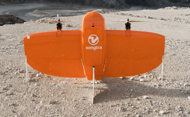
Category Archives: Geology

Delair Drone Data now Integrates with Trimble Business Center v5.0

Delair has announced interoperability of high-precision data acquired from the Delair UX11 drone with version 5.0 of the Trimble Business Center software. The integration enables geospatial professionals to simply drag and drop Delair UX11 PPK data directly into Trimble Business Center projects. Users can combine the high-quality flight data with other sensor data to rapidly create vivid orthomosaics and highly accurate surface models. Continue reading

Trimble Launches V 5.0 of Trimble Business Center 


Version 5.0 of Trimble Business Center merges two products, Trimble Business Center and Business Center – HCE, to provide both surveying and civil construction customers with a complete office software solution. Combining both products into one platform provides a larger set of tools and data interoperability between survey and construction workflows. Continue reading

Wingtra Launches High-Precision Photogrammetry UAV

Swiss UAV manufacturer Wingtra  has announced the launch of WingtraOne PPK (Post-Processed Kinematics) UAV. With the help of partners – photogrammetry software provider Pix4D, and the GNSS board and PPK provider Septentrio – WingtraOne PPK is now able to deliver orthomosaic maps and 3D models with an absolute accuracy down to 1 cm (0.4 in).

Continue reading

LiDAR Enables Discovery of Maya Ruins in Guatemala

National Geographic/Wild Blue Media

Teledyne Optech’s Titan sensor was used by the University of Houston’s National Center for Airborne Laser Mapping (NCALM) to reveal extensive Mayan ruins in Guatemala. Lidar technology was able to identify hundreds of previously unknown structures, including raised highways, and complex irrigation and terracing systems. Continue reading