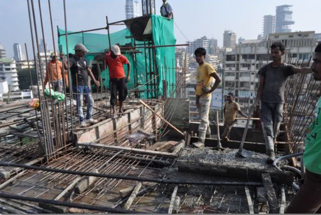
Facing difficulties in curbing a spate of illegal constructions in areas where it has been appointed as the Special Planning Authority (SPA), the Mumbai Metropolitan Region Development Authority (MMRDA) is considering conducting aerial surveys with unmanned aerial systems (UAS) or drones to map the areas.
Attached with 360-degree cameras, this technology will help the MMRDA to identify any encroachment or unauthorised construction that comes up in future.
“We have suggested a drone survey for all our SPA areas except the airport. We have had discussions about it and are submitting a proposal. The data obtained through the survey will prove to be helpful in the long run. In cases of encroachments, we will have all the data about it,” said a senior MMRDA official.
Currently, the planning body makes use of Google Maps to identify encroachments but they have found it to be insufficient as it is unable to give close visuals of an area.
“With Google Maps, we can see if land is vacant or occupied and when it was occupied. It also shows us when it was occupied and this helps us in case of illegal occupants. But if anybody has built extensions on a structure without permission, it is hard to identify that through the maps,” he added.
In areas like Bhiwandi, the MMRDA is having a hard time curbing illegal constructions due to lack of documentation. Before the MMRDA was appointed as the SPA in 2007, Bhiwandi was under the Gram Panchayat. Even after a decade, the local body has not handed over the land documents and certificates issued pertaining to the area to the planning body. In such cases, having mapped data through drone surveys would prove to be beneficial. It will help ascertain when the encroachment came up and how much area has been encroached upon.
“The data received through the drone survey will be parent data that can be accessed by any government body that is appointed in future,” said the official.
With most of these cases ending up in court, the data received from the drone survey can be presented as evidence in courts as well.
The MMRDA also conducts aerial surveys using drones for the construction of metro lines and the Mumbai Trans Harbour Link (MTHL). The technology helps them in the smooth conduct of the land acquisition process.
Source: The Indian Express
