
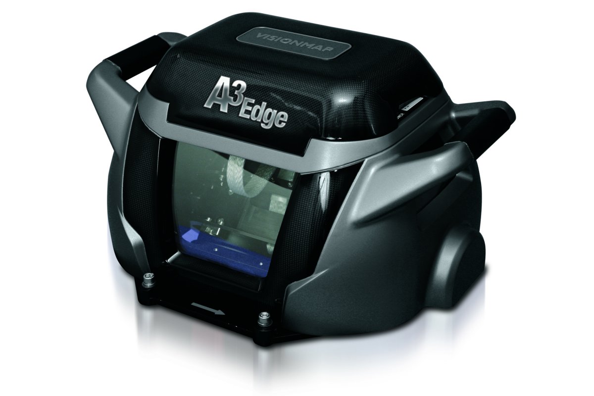
VisionMap – a provider of digital aerial automatic mapping systems – will introduce new 3D capabilities to its popular aerial cameras, MIST and A3 Edge, at LAAD 2015. The new capability, called 3D Edge, is performed by an image processing system located on the ground, along with 3D modeling software. The images produced by the cameras automatically reach the ground unit, and through a sophisticated algorithm, create three-dimensional models.
According to Marcelo Rubin, VisionMap’s VP Marketing & Sales, “We are pleased to present the unique capabilities of our systems to create three-dimensional models. This capability has immense importance for our customers – significantly improving the planning of various types of ground missions, calculating line of sight, measuring openings such as doors and windows as well as heights of buildings or walls, etc. In addition, the system can be used in the preparation of Safe City Projects when performing an analysis of which areas are covered by cameras and which are not.”
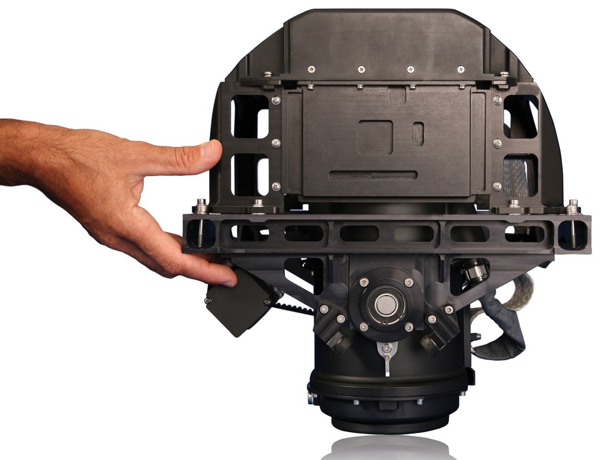
He continued, “Our airborne camera systems are unique in their ability to create orthophoto and oblique imagery from a single flight, enabling our customers to select the type of map according to the mission. Our cameras, which have been supplied to dozens of satisfied customers, are among the fastest in the world in capturing large areas. MIST, for example, can photograph all of Sao Paulo in only seven hours!”
Source: Press Release
Hello,
We are the one of the leading UAV companies in Peru and we are very interested on exploring reseller opportunities of your cameras in the country, please advice
thanks,
Juan Bergelund
UAV del Peru
+ 1 972 489 0728
Juan,
You should click on the link in the story and contact the company directly